Divers, fishermen and drones in the frontline to protect coastal areas
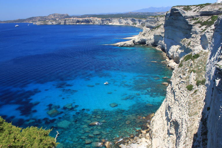
Whether it is in Northern Europe or in the South, coastal areas are the most vulnerable regions to the impact of climate change. They are increasingly exposed to its effects such as frequent sea and air temperature changes, intense storms or sea level rises. These changes are challenging for the ecosystems and the livelihoods of local communities and must be addressed urgently.
Municipalities, local stakeholders, and decision-makers in coastal communities are lacking guidelines and tools that would help them become more resilient to the impacts of climate change and attractive to the people who live there. Marine Protected Areas (MPA) play an important role in climate change mitigation and adaptation in the Mediterranean, yet climate change is not explicitly incorporated in most management plans. Remote and sparsely populated areas in the Northern periphery and Arctic have the same problem. Coastal communities are struggling with climate change challenges such as loss of biodiversity and cultural heritage, sustainable exploitation of natural resources such as fisheries, and increasing numbers of tourists.

What can be done to prepare the people living in coastal areas to face the impacts of climate change? How to make more inclusive and informed decisions to better manage European coastal areas? How can thousands of kilometres of coastline be monitored with just a handful of scientists? What about involving local coastal communities or recreational divers, or simply using technology? This is the great idea that two European projects had. One takes place in the Mediterranean and the other in the Northern Periphery and Arctic.
Unexpected recruits to monitor climate change effects
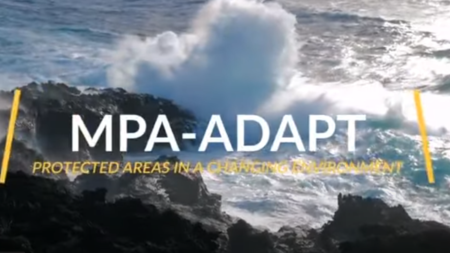
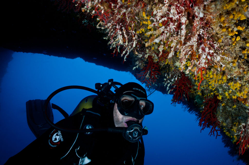
Researchers, environmental NGOs and national parks from Croatia, Italy and France together founded the MPA-ADAPT project based on the premise that local knowledge matters. When people live in an intimate relationship with the natural environment, they observe changes in their daily life more sensitively. For this reason, the project partnered up with local stakeholders such as fishermen and leisure diving organisations, PADI and Divers Alert Network (DAN). Together, they monitor the impact of climate change on MPAs and collect data to raise awareness of the importance of MPAs in safeguarding biodiversity and mitigating climate change risks. MPAs serve as natural infrastructures reducing potential damage from floods, storms, and erosion.
High in the northern peripheries and the Arctic, the COAST project is also working towards more sustainable and resilient communities. The project has chosen a rather innovative way of monitoring the coast and vast seas: using drones.
Drones are well-suited for monitoring coastal areas as these are often hard to reach because of cliffs, or the rapidly changing weather conditions and tides. At the same time, drones are believed to disturb the natural and built environment less than physical and repeated visits of researchers. Due to their low operating costs, high level of automation and high quality of data, drone surveys can efficiently document the impact of erosion and sea-level rise on natural and cultural heritage sites in coastal areas.
The added value of using drones does not come only from their ability to fly anywhere. It is also the software used to analyse the footage that has been filmed. Automated software can recognise sophisticated information such as what kind of vegetation is growing, the number and type of trees, coastal degradation, seaweed growth, etc. According to the Lead Partner of COAST Ragnheidur Thorarinsdottir from the Agricultural University of Iceland, it has never been more efficient, accurate and cheap to observe how vegetation has changed in the long run.
Why prepare thoroughly for the impacts of climate change?
Coastal communities are the most likely to see their lifestyle transformed because of climate change. For example, fishermen might not be able to enter the sea as often as before due to more frequent extreme weather conditions. Diving centres or other commercial activities depending on the rich biodiversity of MPAs might see the number of clients decrease because of reduced attractiveness. Adapting to the new conditions and taking action is therefore essential not only for the marine ecosystems themselves but also to the activities that depend on them.
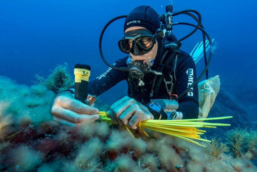
MPA-ADAPT developed a protocol to get information directly from fishermen as they are in the frontline. As Ernesto Azzurro, MPA-ADAPT Lead Partner explains, the project “conceived a methodology to extract this information that is translated into science. And at the same time, we engage those fishermen in monitoring and in managing the problem.”
It was during an on-site visit in the Pelagie Islands that the project partners met Fabio Figurella, PADI Italian regional manager, and other PADI and DAN Members and got the idea to partner up, tells Ernesto. “They were really interested in MPA-Adapt activities, particularly about some of our monitoring protocols that could be easily implemented by recreational divers after proper training. A few days later, we organised a meeting with PADI and DAN and we started a new and fruitful collaboration.”

The partnership with PADI and DAN consists of involving recreational divers in monitoring climate change impacts using monitoring protocols developed by the project. Recreational divers collect data about sea temperature, fish species and corals. PADI and DAN first train diving instructors and they, in turn, train leisure divers. As Ernesto states, the major advantage of both organisations is that 'they have the capacity to involve a large number of diving clubs and recreational divers in the process of data collection. All this can be particularly useful to support/stimulate Mediterranean MPAs that are not receiving monetary support to perform monitoring of climate-related impacts. In several cases, the involvement of new MPAs in our monitoring network is due to the activities of PADI and DAN.'
Drones can also be helpful in the effort for diversifying local coastal communities’ economies towards sustainable exploitation of natural resources. 'We have recognised that the marine environment is becoming more important for us from a social point of view, a business point of view and a well-being point of view,” says Michael O’Boyle, Head of Marine at Mayo County Council. 'Through COAST we are trying to bring these together in a vision, based on how we can harness, access and bring into sustainable use the marine environment'.

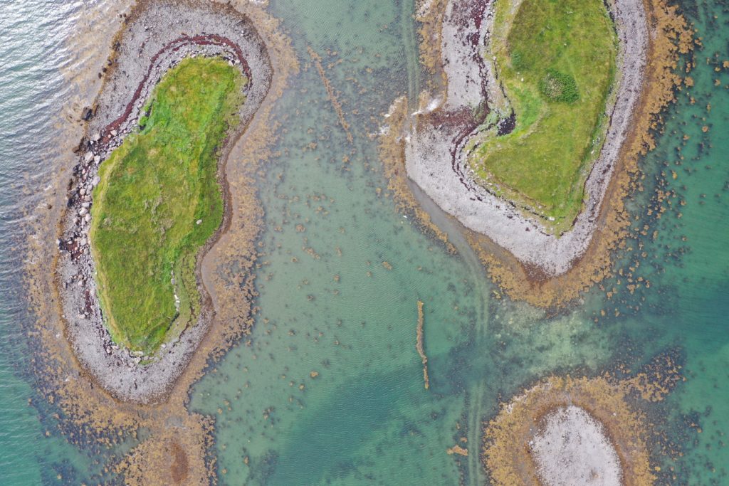
County Mayo in Ireland is using drones to measure the nature and quantity of seaweed, which varieties are prevalent and which ones are declining due to climate change. This information helps plan to license and harvest in a sustainable way, gaining both environmental and economic advantages. In fact, while in the past seaweed was mostly used as animal feed, in recent times it gained value and popularity thanks to its application in the cosmetic industry and for human consumption. The data collected with drones can help local businesses to adapt to new circumstances and increase access to new valuable markets while keeping environmental impacts under control.
Towards a more inclusive and well-informed decision making
The engagement of stakeholders and the public is something that both projects are looking into in a deeper way. As Ernesto Azzurro explains more and more divers are asking to 'do something meaningful such as helping science, protecting our oceans and learning more about its biodiversity'. Thanks to the protocols and training provided by MPA-ADAPT, PADI and DAN could meet their customers’ requests. Thousands of divers have been and will be sensitized to the influence we have on the sea and its fragility.

The MPA-ADAPT project also trained scientists and project managers from other environmental organisations such as the Food and Agriculture Organisation or the General Fisheries Commission for the Mediterranean to use their protocols. This means the project tools are now in use everywhere in the Mediterranean. MPA-ADAPT managed to create a whole Mediterranean network of private companies, institutions, researchers and MPA managers. As a consequence, more data are available contributing to increased scientific knowledge and consciousness among local communities. This benefit is precisely what Valentina Cappanera, MPA manager in Portofino underlines 'the increasing networking activities among Mediterranean MPAs allowing for more information and methodologies to be shared between research institutions and MPA managers is of great value.'
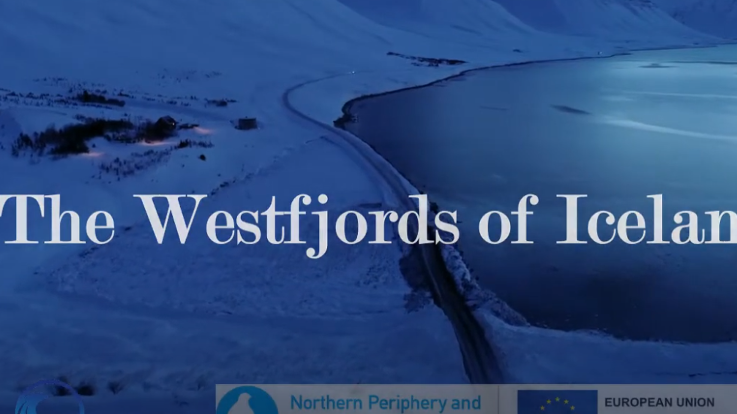
In the case of West fjords, a coastal mountainous area in northwest Iceland, the COAST project tested the use of drones for more inclusive spatial planning. For decades, remote areas have been witnessing a decline in population. However, in recent years the trend radically changed: industries such as aquaculture and tourism opened up new working possibilities and people started moving back to the peripheral areas. For this trend to become sustainable, Municipalities chose to engage all parties in the decision-making process using drone imaging and data.
Ragnheidur believes that 'the local population knows their environment best, they live there and they want new jobs and ensuring the protection of the environment. For these reasons they want their voices to be heard. When there is planning going on, it is absolutely necessary to include locals.'