

Water resilience: practical solutions for managing water systems
These projects have produced viability calculators, real-time prediction models, governance frameworks and digital management tools. For public institutions designing new water resilience measures, they offer a practical starting point.
The examples below show how these solutions work in practice.
Micro-hydropower in water networks
The Interreg Atlantic Area project REDAWN installed small turbines inside existing water distribution systems to recover energy that would otherwise be lost as pressure drops. Four pilot installations were developed in Portugal, France and Spain, covering different contexts: an agro-tourism farm, a municipal hydraulic system, a drinking water production plant and an irrigation network.
In Sever do Vouga (Portugal), the installation made a fruit farm and tourist site self-sufficient in electricity. In Andalucía (Spain), a micro-hydropower unit replaced a diesel generator in an irrigation system.
The project also developed a financial assessment tool, available online, that allows water companies, farmers or municipal engineers to evaluate whether micro-hydropower would be cost-effective in their own networks. Business model documentation and pilot methodologies provide a replicable framework for water-energy infrastructure investment.
Flash flood prediction and response
Flash floods can form within hours and are difficult to predict using conventional forecasting systems.
In July 2021, floods in Germany, Belgium and the Netherlands caused more than 200 deaths and severe damage to infrastructure. At the time, forecasts did not provide enough local detail to predict which areas would be hit hardest or to support rapid emergency response.
This challenge is at the heart of the Interreg North-West Europe FlashFloodBreaker project.
To better improve flash flood forecasting and emergency response, the project is implementing and testing innovative predictive models and management tools.
The focus is on combining fluvial and pluvial flood modelling to carry-out stress testing and identify weak spots, integrating cascading effects and flood loss model, levering AI capacities for flood and impact forecasting, accelerating the processing of drone imagery to map affected areas during flooding and enabling mobile data collection and customised information sharing.
Emergency services, water authorities and municipalities together with academic partners are also testing warning procedures and response protocols across seven high-risk areas in Germany, the Netherlands, Belgium, Ireland, France and Luxembourg.
In Duisburg, the project hosted a joint flood-response training on the shores of the Rhine River. Fire brigades from Germany, the Netherlands, and France trained alongside the German armed forces and shared methods, tools, and experience in the field.

Atlantic regions face similar risks. In early 2026, successive storms caused severe flooding across Portugal, pushing the Douro, Tejo and Sado rivers to levels not seen in decades. Based on initial development, testing, and promising results, the tools developed by FlashFloodBreaker are deemed to support authorities in affected regions in preparing for such events.
Peatland restoration for water retention and carbon storage
As water levels rise, European regions need not only better forecasting and faster response, but also landscapes that can store water effectively.
When peatlands are intact, their soils consist of almost 98% water, acting like a natural sponge that slows runoff, stores carbon, and supports biodiversity.
When peatlands are drained or degraded, they lose their ability to retain water and release the carbon they once stored back into the atmosphere.
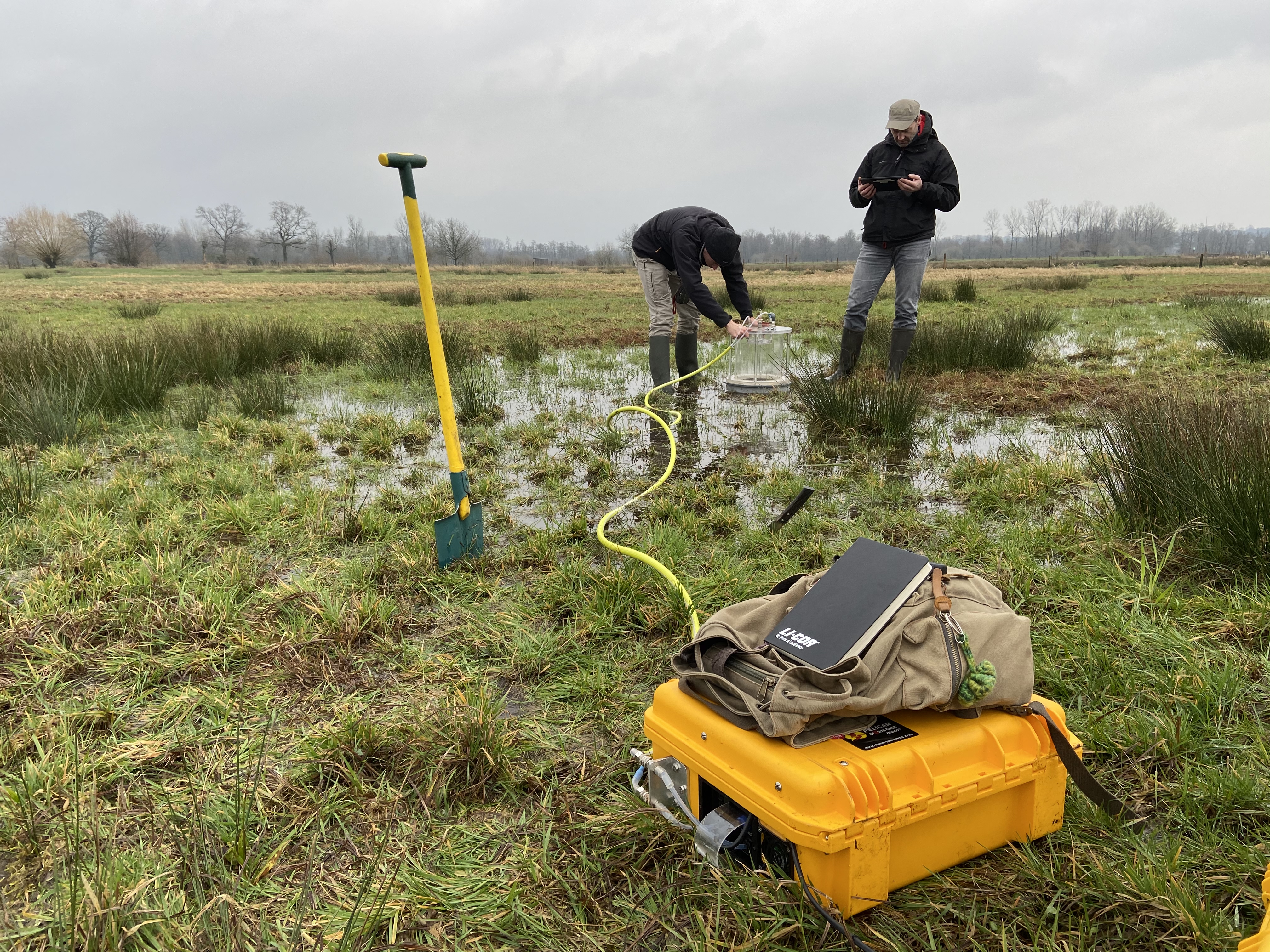
The Interreg North-West Europe project Care-Peat restored seven peatland sites across several regions, improving water retention and reducing emissions by an estimated 9,600 tonnes of carbon dioxide per year.
The project also developed land management tools and socio-economic strategies that support peatland restoration and long-term management.
A follow-up project, BUFFER+, is testing additional approaches including water farming, payments for ecosystem services, nature-based solutions to improve water quality, peat-free substrates and digital monitoring systems for peatland management.

Cross-border water management
In the Pyrenees, Interreg POCTEFA’s URAMUGA project is developing investment-ready solutions for integrated water cycle management across Navarra, the Basque Country and Nouvelle-Aquitaine. The project includes a cross-border governance framework, standardised methodology for joint action across different administrative systems, and feasibility studies for wastewater and sanitation investments in cross-border hotspots. It is also preparing network interconnection studies for priority cross-border water supply zones.
In the Interreg South-West Europe area, SMART GREEN WATER develops digital twin technology for irrigation management. The project is testing a QGIS-based open-source tool that creates real-time virtual replicas of irrigation systems, integrating sensors for moisture, pressure, flow and climate data. Five pilot farms across Catalonia, Andalusia, Murcia, Nouvelle-Aquitaine and Alentejo are testing the tool across different crops and irrigation types.
Supporting the next stage of investment
These initiatives operate at very different scales, from individual farms to cross-border river basins. What they share is a focus on practical outputs: assessment tools, predictive models, restoration methods and governance frameworks.
By testing solutions through cooperation projects first, regions gain practical experience that can support larger water management investments.
Header photo: Flooding of the Hoëgne river in the province of Liège (Belgium) on 15 July 2021. © Belgorage.be - Samina Verhoeven.